
Coedpoeth (Welsh: Coed-poeth); is a village and community in Wrexham County Borough, Wales. The built-up area with Minera had a population of 5,723 in the 2011 census. Coedpoeth is also an electoral ward to Wrexham County Borough Council. Since 1995 it has elected two county councillors, a mixture of Independent and Labour Party representatives.
Fourteen community councillors are elected or co-opted to serve on Coedpoeth Community Council, the lowest tier of local government.
The origin of Coedpoeth is from Celtic “coed” meaning “wood” with “poeth” meaning “hot”. Its name translates into English as meaning burnt wood or hot wood, which is popularly believed to derive from the production of charcoal for the smelting of iron and lead that was carried out in this area as far back as Roman times.
The village was surrounded by natural resources such as lime, iron ore, coal, and lead, and many ruins show the industrial past of the area.
In its early history the area known as Coedpoeth was not a settlement, but was described (in 1411) as a “waste” – an uncultivated area – and later as a “common”, presumably a wood with rights of common, in the upper part of the township of Bersham. By the early 19th century this common fell within Minera, and under the Enclosures Act for the township of Minera in July 1809, the ‘common called Coed Poeth’ was subdivided into 11 parcels of land. Even as recently as 1832, the village of Coedpoeth did not yet exist as it currently does, and was instead four small hamlets.
The Nant (from the Welsh word nant, a stream or brook) to the south possessed two mills on the River Clywedog.
Adwy’r Clawdd (literally “the gap in the dyke”) to the north-east was named after a gap in Offa’s Dyke.
The Talwrn (from Welsh talwrn, a cockpit, or more usually a field or open space) in the valley of the River Gwenfro to the north, was home to several small-scale coal mines.
The name of the Smelt, to the west, referred to smelting of lead in the area.
These four hamlets became areas of Coedpoeth which grew, with increasing industrial development, around the inns and market hall on the ridge that became the high street of the village. The changes in population were reflected by a new church opening in 1875, with a replacement stone-built church, dedicated to St. Tudfil, being opened in 1895 as a chapel of ease within the ecclesiastical parish of Minera.
By the 1860s, the village was named Coed Poeth, and this form of the name remained until the 1940s at the latest.
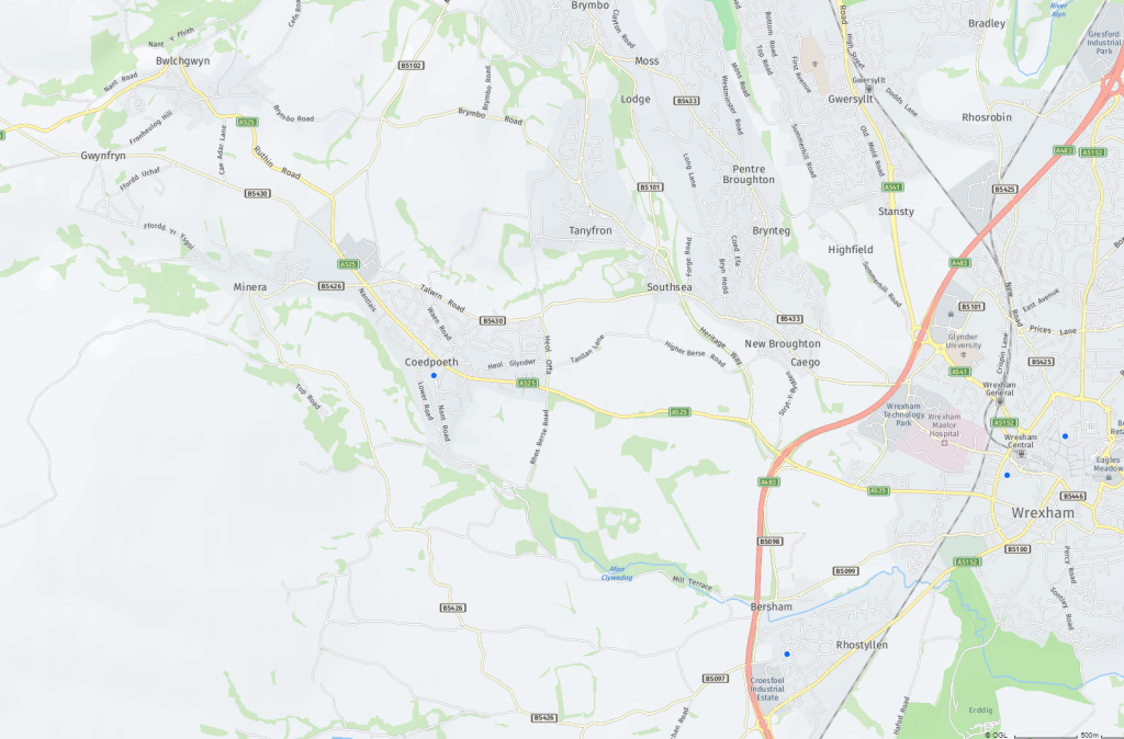
Coedpoeth is on a hill between the Clywedog and Gwenfro valleys, surrounded by countryside with views of the Cheshire plain, Tanyfron, Southsea and the city of Wrexham.
The highest point of the village is Rock Place at 800 feet (245 m) above sea-level. The neighbouring village of Bwlchgwyn is one of several claiming to be the highest village in Wales, at 1090 feet (333 m).
Coedpoeth has two schools: Ysgol Penygelli and Ysgol Bryn Tabor (a Welsh-medium school).
(Wikipedia)